

– Traditionally, bird territories are mapped and analyzed as flat objects. But we propose to study them in three dimensions. That is, we should take into account not only the surface area of the territory, but also its height and spatial location. This is a fundamentally new trend in science, because the methods to process such information had not been available until lately. There are only a few publications globally whose authors use these algorithms to study territoriality in songbirds," said Maria Matantseva, Senior Researcher at the Zoology Laboratory of the Institute of Biology KarRC RAS and RSF Project Leader.
Senior Researcher at the Zoology Laboratory of the Institute of Biology KarRC RAS Maria Matantseva
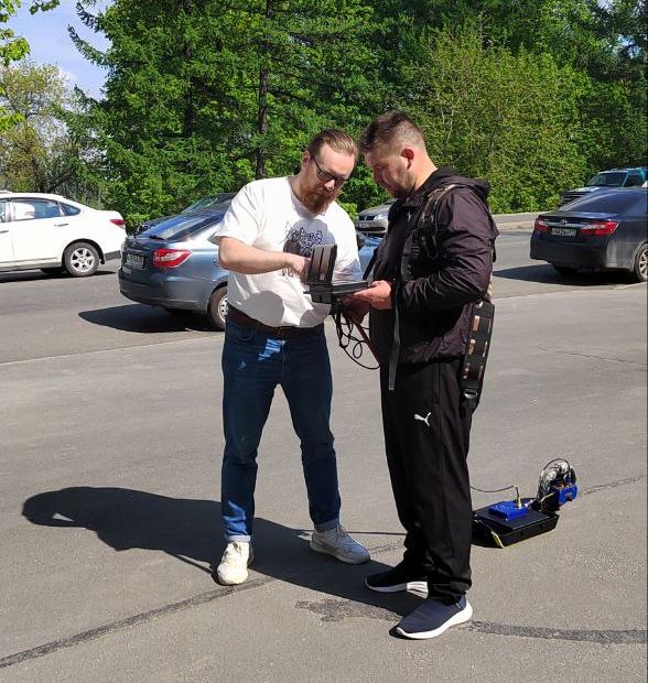
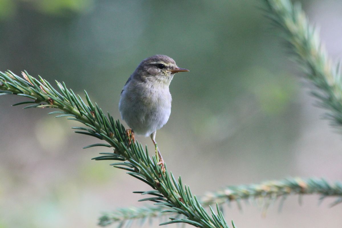
To collect field material, scientists will go on an expedition to the Kola Peninsula this summer. They will capture and ring male Willow Warblers, Phylloscopus trochilus, within certain sites during the breeding season. Songbirds are territorial; each pair needs its own space for breeding, which is defended against other males, in contrast e.g. to bird colonies. Male Willow Warblers actively guard their territories and advertise them by singing. It is around the points at which they sing that the territory can be outlined.
Ornithologists will monitor the tagged birds on a daily basis, record the points at which they sing, and map them. Based on the recorded coordinates, point clouds will be generated, delineating the territory of each male. Special software will visualize the data and demonstrate how birds of the same species share space among themselves. Factors that determine territoriality will also be investigated: habitat structure, population density, time of settlement, and others.
During previous expeditions, scientists have already collected some data and compared the results produced by the traditional 2D mapping versus the novel 3D mapping. The differences proved to be substantial. The modern method revealed that despite the close proximity of the territories occupied by some pairs, they are still somehow separated in space.
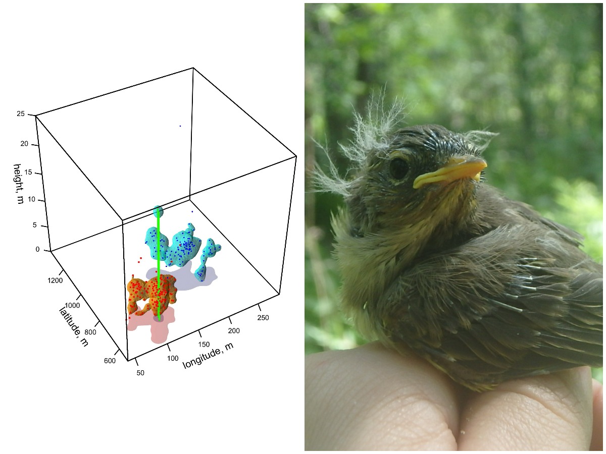
3D models of songbird 3D territories based on data by Karelian ornithologists, Willow Warbler chick
In addition to contributing to basic science, the research has practical value. 3D models can be used to work out measures for the conservation of habitats of certain species, including rare ones and those in need of protection.
– For people to be able to plan their activities wisely, to manage forests, to plan urban green spaces, knowledge is needed regarding the properties each newly formed habitat should have: its size, its layers, its structure. Can we expect the habitat to become inhabited? The habitat may get so heavily fragmented that it is no longer suitable for anyone to live in, and then the species diversity will be lost. If, on the contrary, we want birds to nest and sing in our forests and cities, we must plan green areas so that the requirements of different species are taken into account," Maria Matantseva summarized.
Photos and figure from Maria Matantseva’a personal archive