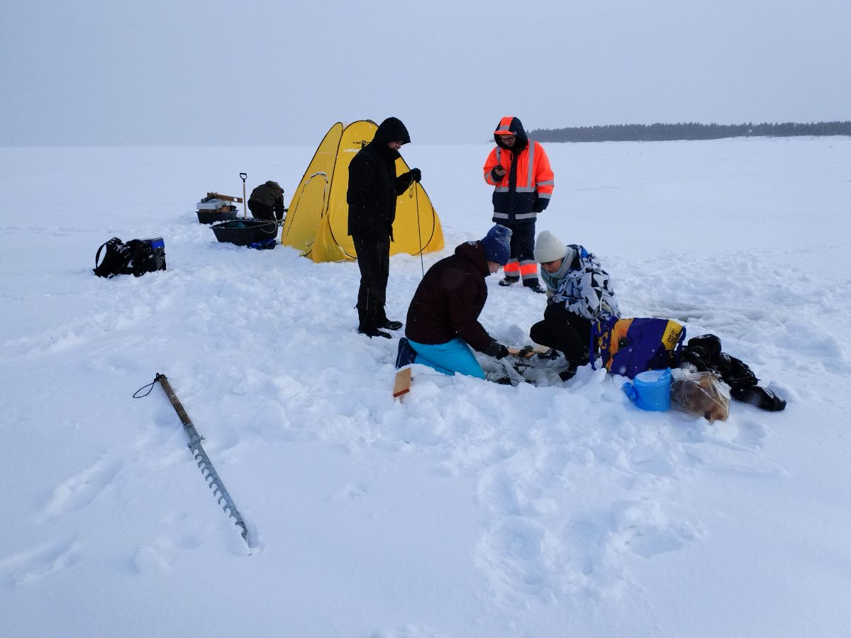


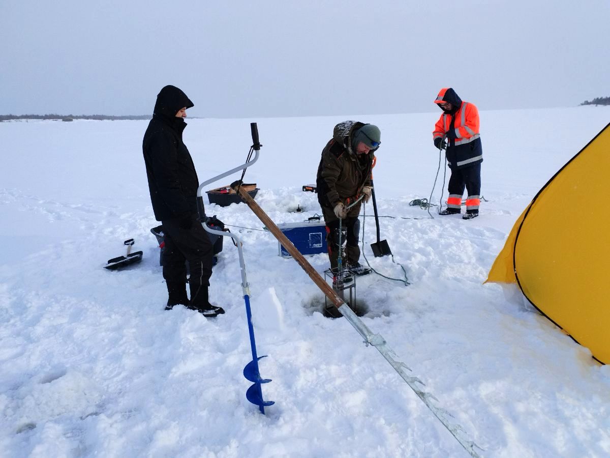
– During the first expedition to Rabocheostrovsk, we were interested in the sea-river water mixing interface. We deployed two stations with CTD sensors - instruments for determining the temperature, salinity, and density of seawater. We compared their readings, took ice samples and water samples at different tidal ranges. Despite the small distance of two kilometers between the stations, the ice differed greatly in structure and nutrient content, - told the Project Leader Aleksey Tolstikov.
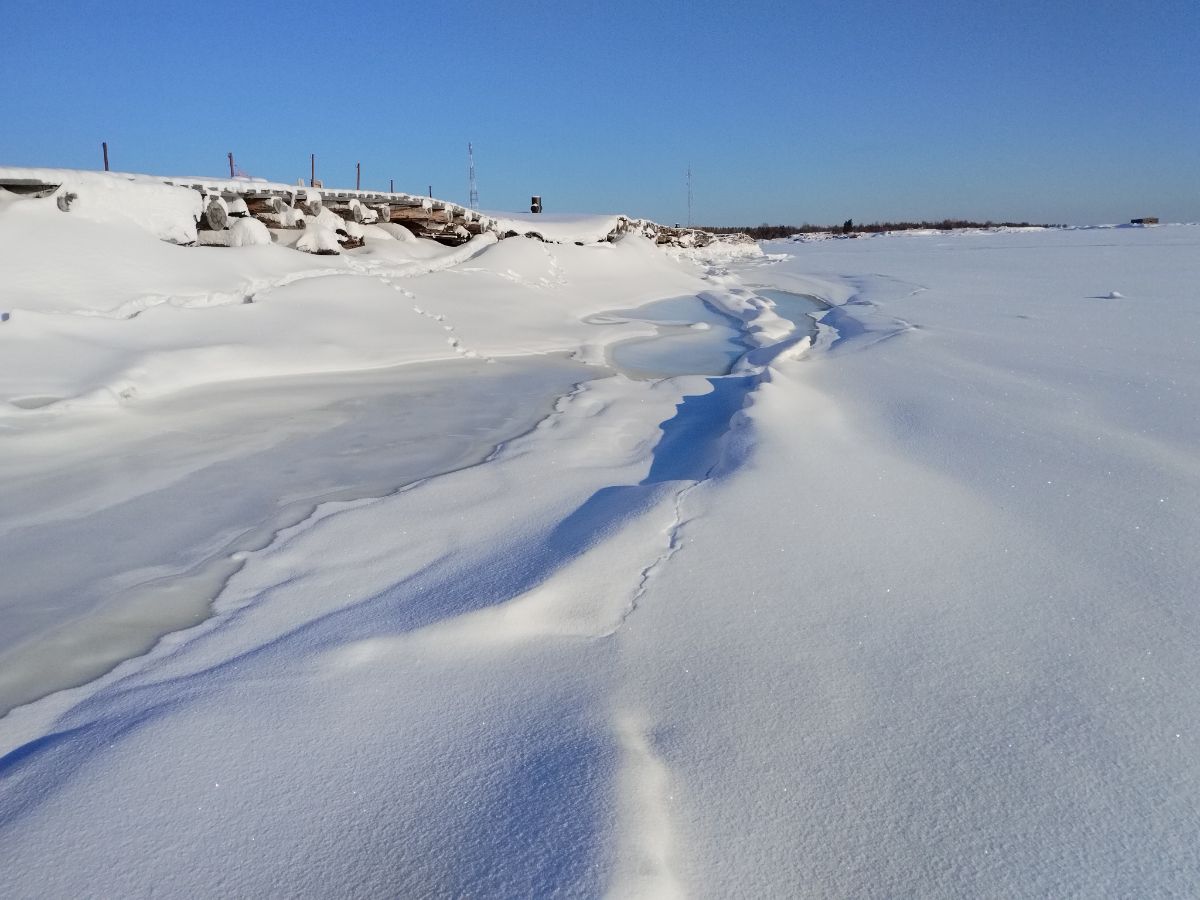
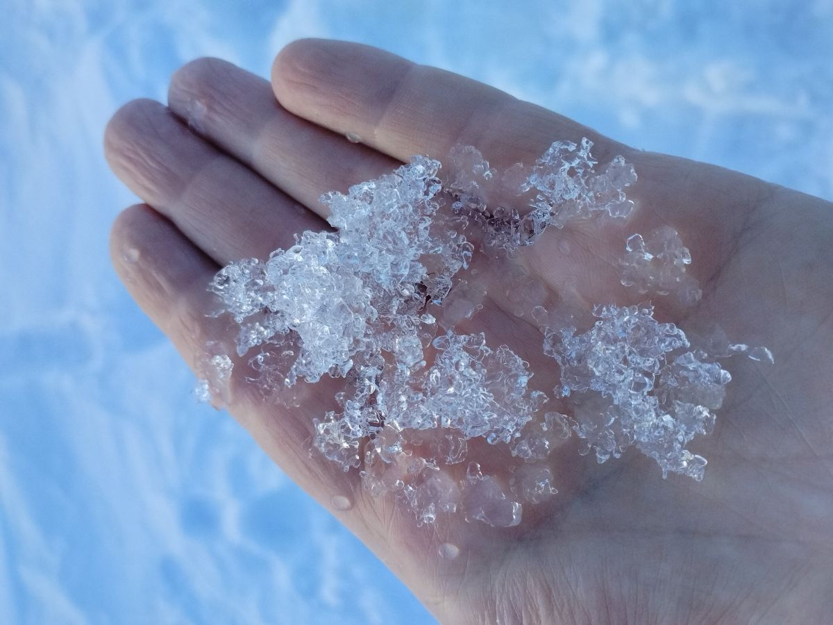
Ice at different stations differed in thickness and layering. In the river estuary, fresh water makes it harder. Sea ice is looser. In the sea-river water mixing zone, scientists found re-crystallized ice in the form of snow-like particles in the lowest layer of the ice cover.
Chemical analysis of water samples showed phosphate content to exceed standards, indicating anthropogenic pollution in the area.
Karelian scientists were joined in the expedition by representatives of the Faculty of Biology of the Lomonosov Moscow State University and the St. Petersburg Branch of the RAS Institute of Oceanology. Hydrophysicists, in particular, were to assess the transformation of tidal water, and biologists - parameters of chlorophyll and phytoplankton. Last year, for example, scientists discovered more than 50 algal taxa in the White Sea ice column.
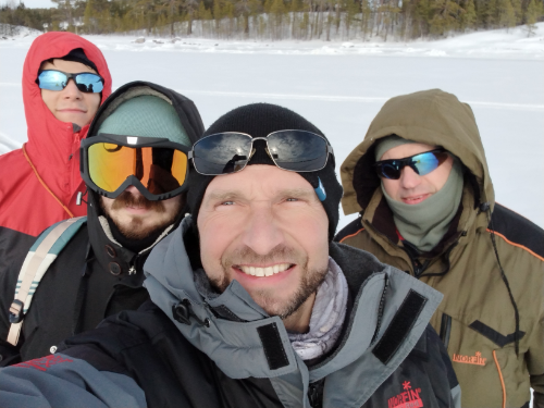
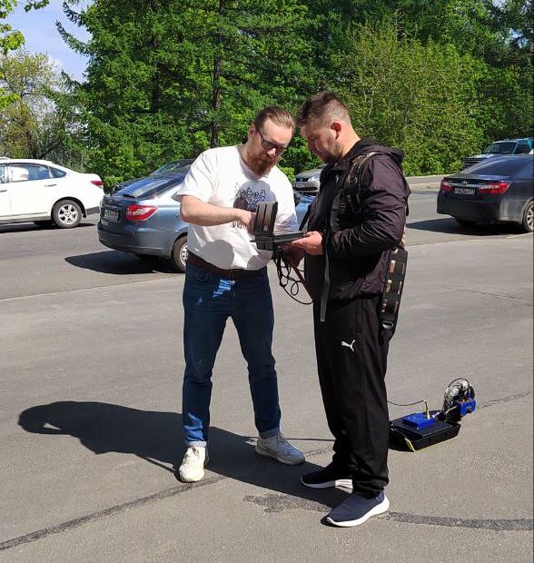
Participants of the expedition to the Kartesh BRS, left to right: Alexander Konik, Egor Svergun, Aleksey Tolstikov, and Roman Zdorovennov
Although the Kartesh BRS is situated much farther north than Kem, in the White Sea Gulf of Kandalaksha, ice there proved to be thinner. Being some 50 cm in Rabocheostrovsk area, its thickness at the BRS was around 30 cm, or even 10-15 cm in some sites. Specialists see that ice in the gulf has been getting thinner for several years, forming later in the winter and decaying earlier in the spring. Scientists deployed CTDs and continuously recorded fluctuations of physical processes during three days. In addition, using special sensors on ice, under ice, and at 50 cm depth, they studied how the ice cover retained and dispersed solar radiation.
All these data are needed for better operation of the numerical model of the cryosystem which is being created. The project period is 2022-2023. The results of the first year have already demonstrated that the model correctly reproduces all stages of the ice life cycle: ice formation, ice cover expansion in winter, emergence of open water areas and melting in spring. The model performance was verified by comparing its output against real satellite observations.
– One of the applications for these results is navigation in the White Sea in winter, because ice can pose danger to ship traffic when it forms and when it degrades. The model can be used when designing and building structures exposed to sea ice, or when looking for the best aquaculture areas in the White Sea, - the scientist explained.
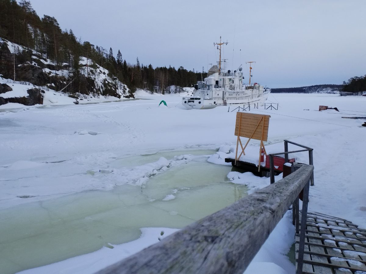
White Sea Biological Research Station premises
Also, the model can help identify areas of heaviest anthropogenic impact, as well as predict the dynamics and distribution range of various pollutants.
– Using the model, we can calculate: how many hours it will take for a slick to reach a certain area, which substances will be diluted or deposited, i.e. buried on the bottom, and which ones will spread further, and how they will affect the ecosystems. Modeling in previous years has already helped us find such areas in the White Sea, for example, a hydrodynamic trap in Onega Bay, where the serrated coastline and the dynamics of currents cause the material to be retained for several months, - added Aleksey Tolstikov.
Finally, the newly-developed model is valuable for basic science. Fieldwork in winter, on ice, may be not only technically difficult, but also dangerous for the researchers. Besides, it is impossible to collect information on the entire White Sea during one fieldwork season. Numerical models help obtain data both over a large time interval and in a maximum possible spatial resolution.
Photos by Aleksey Tolstikov / Northern Water Problems Institute KarRC RAS