

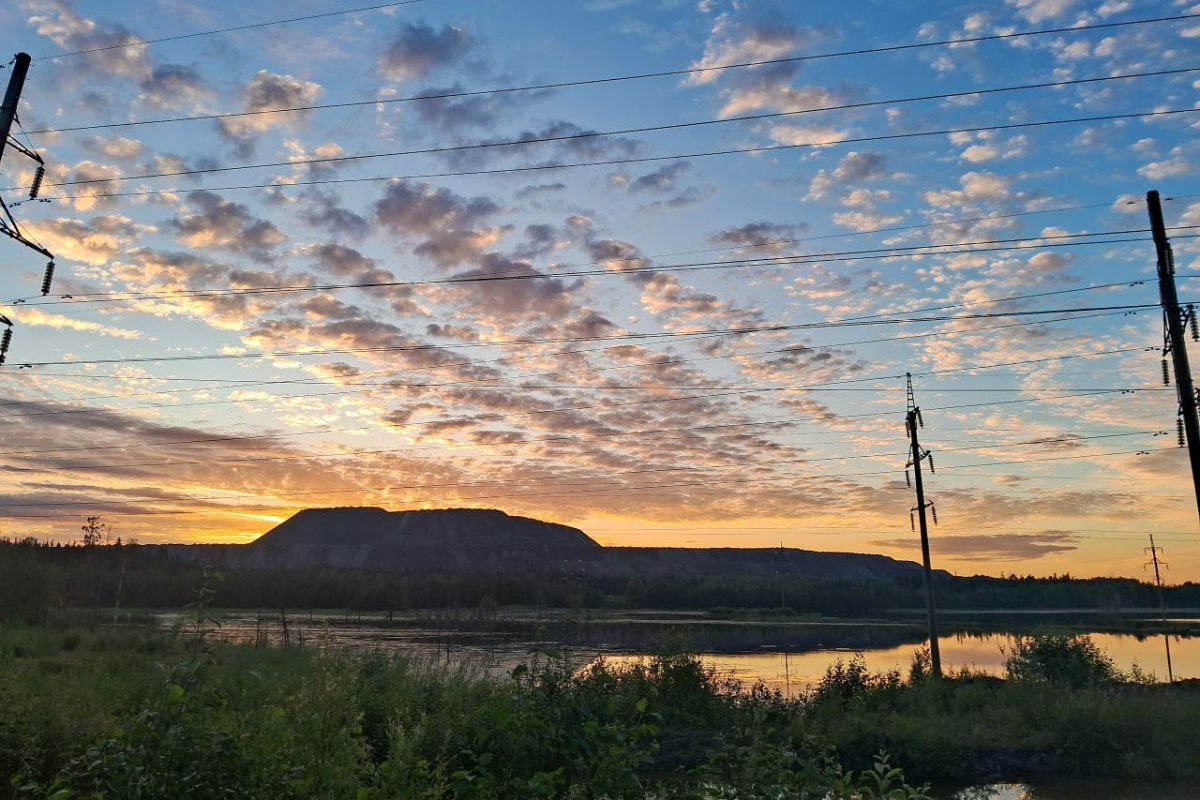
Typically, environmental impact studies consider the state of soil, water, and vegetation. However, much of the ecosystem dynamics occurs on the scale of the landscape as a whole. Remote sensing data have enabled its retrospective study for the case of the Kostomuksha iron ore deposit. Natalya Krutskikh, Head of the Geoinformation Center at the Institute of Geology KarRC RAS, analyzed satellite images for the period from 1978 to 2019. The results of her study are published in the international journal Physics and Chemistry of the Earth.
The satellite imagery for the analysis came from the Landsat program. The scientist classified the land cover using spectral data from the satellite images and identified five classes:
1. mining or quarry;
2. bare ground;
3. water;
4. forest, dense vegetation;
5. paludal, sparse vegetation.

Land use/land cover changes between 1978 and 2019
Comparing the images, one can clearly see the scope of change. For example, in the 1970s - at the very beginning of quarry mining - the first class had minimal presence. By 1990, it occupied 17.4 thousand sq. km, and by 2019 its size tripled to 55.5 thousand sq. km. The quarry area grew the most rapidly between 2006 and 2014, gaining 2.2 thousand sq. km per year.
Simultaneously, the area of the “bare ground” class, which includes clear-cut sites, was changing. It was largely due to land clearing for quarrying. While in the first years this area decreases due to transition to the “mining” and “water” classes (mining started, and Lake Kostomukshskoye grew upon impoundment), later on it started growing actively again. This happened due to further development of the territory and expansion of timber harvesting. As a result, this class gained the most in 1996-2000, mainly due to logging.
The area of the “forest” class also changed proportionally. It was at its maximum in the initial period. In 1978, forest areas occupied 500.4 sq. km here. By 2006, the forest area was already 340.9 sq. km. By 2019, some clear-cut sites have become revegetated and the size of the class increased again.
Interpretation of satellite images vividly demonstrates changes in water spaces. The impoundment of Lake Kostomukshskoye led to a more than twofold increase in the area of the “water” class: from 29.3 sq. km in 1978 to 62.6 - in 1990. Then, they begin to use the lake to dump “tailings” - mineral processing waste consisting of barren rock. Their constant accretion resulted in a decrease in the share of the “water” class, which in 2019 was 53.8 sq. km.
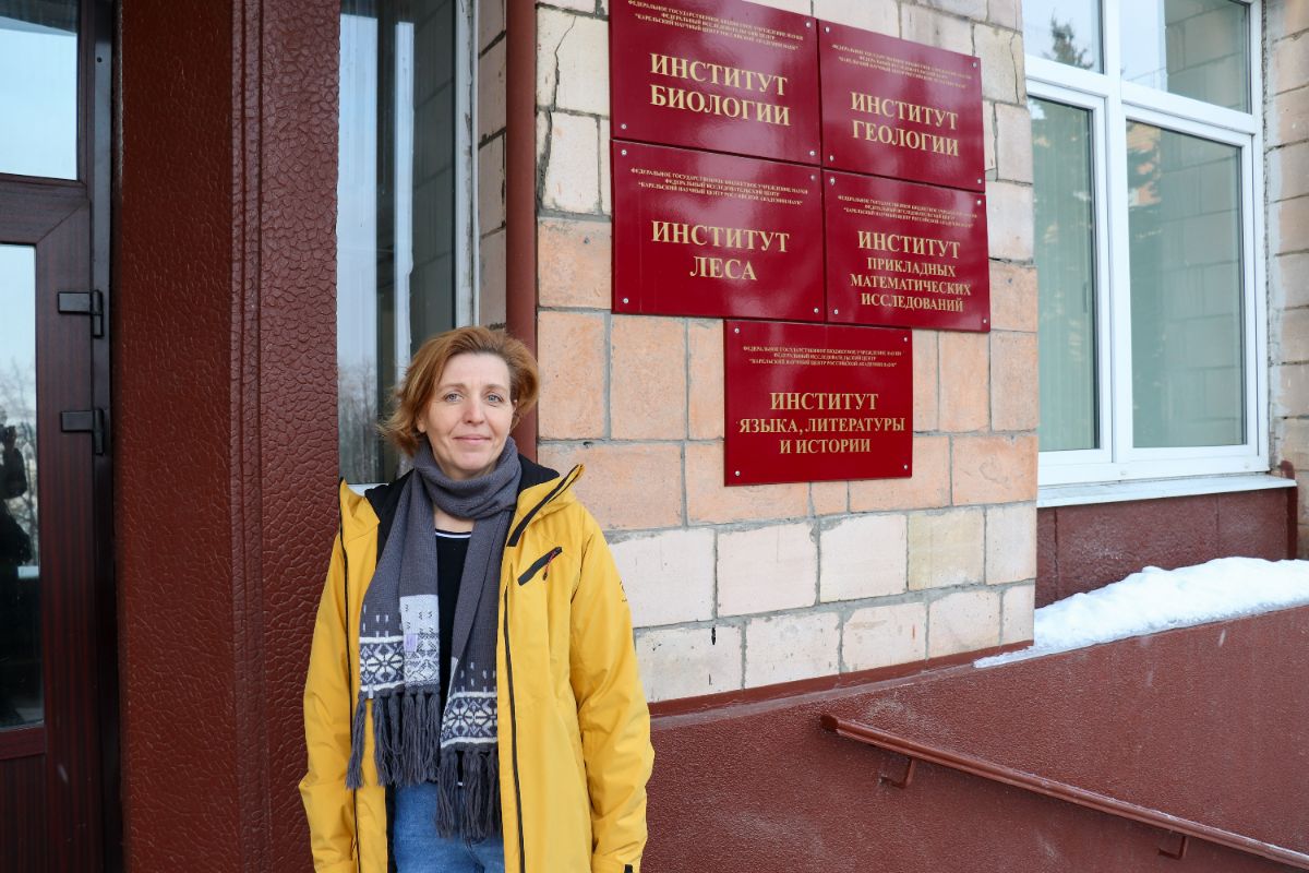
Head of Geoinformation Center, Institute of Geology KarRC RAS Natalya Krutskikh
Natalya Krutskikh also analyzed how the geosystem changed in space and time using special landscape metrics. This way, the scope of the spatial disturbance of the territory was mapped across years. Thus, in the pre-industrial period undisturbed areas predominated, the low spatial disturbance zone occupying 93% of the total area. The year 2006 is characterized by an increase in the area of heavily disturbed land (68%). By 2019, due to the restoration of landscapes, including revegetation of clear-cut sites and reduction in overall fragmentation, this metric decreased to a medium level.
Another application of remote sensing methods is in studying groundwater dynamics in mining areas. Scientists say that mining disrupts the groundwater regime and causes a drawdown cone to form around the quarry, which becomes larger as the quarry grows and is drained. A cone of depression forms when water is pumped out of a well - an excavation or mining pit. When viewed in cross-section, the groundwater surface level becomes funnel-shaped, sloping towards the dewatering site.
– The spectral characteristics of the surface in satellite imagery give an idea of the vegetation moisture content. If water is deficient, this will be recorded. As a result, the condition of vegetation helps us understand what is happening to groundwater in the study area, – remarked Natalya Krutskikh.
The study has shown that the detrimental changes in all vegetation classes are the heaviest within the cone of depression. At the same time, herbs and shrubs are less responsive to changes in groundwater levels, while the tree layer, especially deciduous trees, is more sensitive. Wetland vegetation is the most sensitive to human impact. It is noted also that vegetation in areas that used to fall within the cone of depression adapts to water stress.
The study area belongs to a humid climate zone with high average annual precipitation, which compensates for the water stress from the quarry making it less noticeable there. The results of the study are published in the Environmental Earth Sciences Journal.
– Landscape transformation assessment is essential for decision-making regading ecocystem protection actions. Our study demonstrates the behavior of geosystems in similar natural settings and provides a better insight into the adaptive mechanisms that help the system maintain resilience under external stress impacts. These methods can become part of the ecological monitoring of the territory, – Natalya Krutskikh added.
The scientist used the case of the Kostomuksha deposit to elaborate the research methodology, and now plans to test it at other similar sites in the northern region.
Photos: V. Shvetsova, M. Dmitrieva / Science Communications Office KarRC RAS