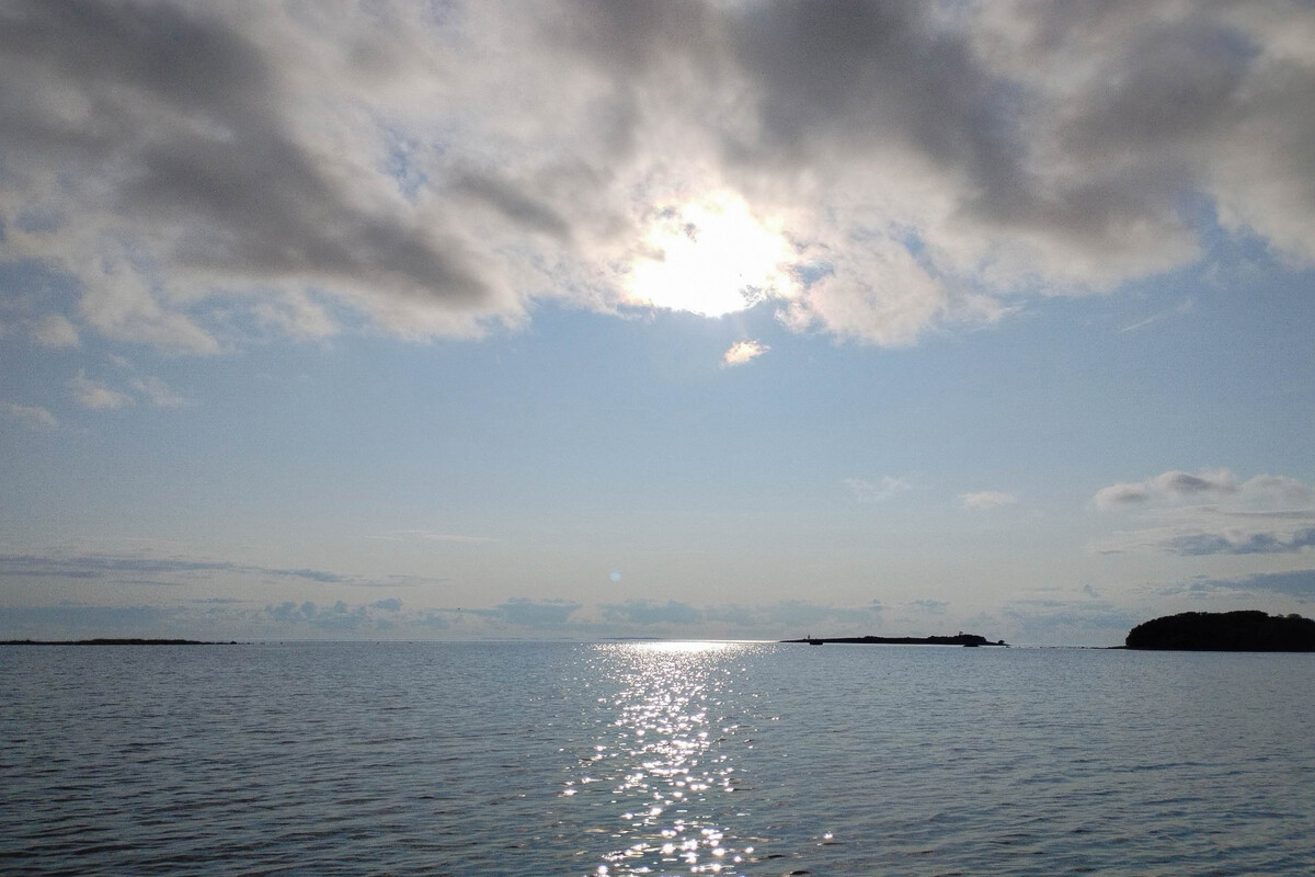


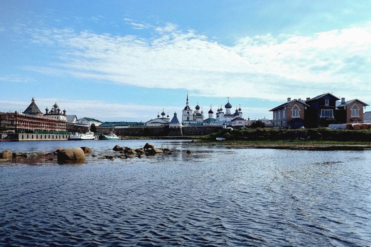
Solovetsky Islands constitute the largest archipelago in the White Sea, which is known for its unique natural, historical and cultural complex included in the UNESCO World Heritage List.
As an insular territory within the Arctic zone of the Russian Federation, the archipelago is characterized by difficult natural and climatic conditions, high sensitivity of ecosystems to external impacts, as well as geographical, historical and economic connection to the Northern Sea Route via the White Sea-Baltic Canal.
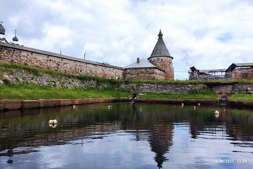
— Historically, human development on Bolshoy Solovetsky Island began in the 15th century, with the construction of the Solovetsky Monastery. The archipelago's nature was intensively transformed: a system of lakes and canals was built, mires were drained, and hayfields were created. We are now witnessing the consequences of these activities. Changes in the archipelago coastal waters are associated with various factors, such as active navigation, inflow of untreated nutrient-rich domestic wastewater, recreational activities. The high pilgrimage and tourist traffic inevitably affects the unique natural ecosystem. Currently, there are 60-80 thousand visitors per season, — told Yulia Lukina, Director of the Northern Water Problems Institute KarRC RAS.
Such multifactorial impact results in increased concentrations of heavy metals in bottom sediments of the coastal zone near Solovetsky village, in areas of ship mooring and industrial algae harvesting. The most heavily contaminated area is Blagopoluchiya Bight, where copper and cadmium concentrations in water exceed the permissible maximum.
— In addition to the constant action of anthropogenic factors, there is currently a progressive climate warming in the region, which is already producing a noticeable effect on the biota. Therefore, a key task for research is to set up monitoring to assess the current state of the water area around the Solovetsky Archipelago and to predict possible changes in response to natural and anthropogenic impacts. This will help to preserve the natural-resource potential of the White Sea and foster environmentally safe and sustainable development of the territory, — Yulia Lukina added.
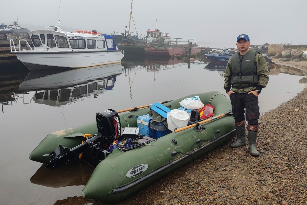
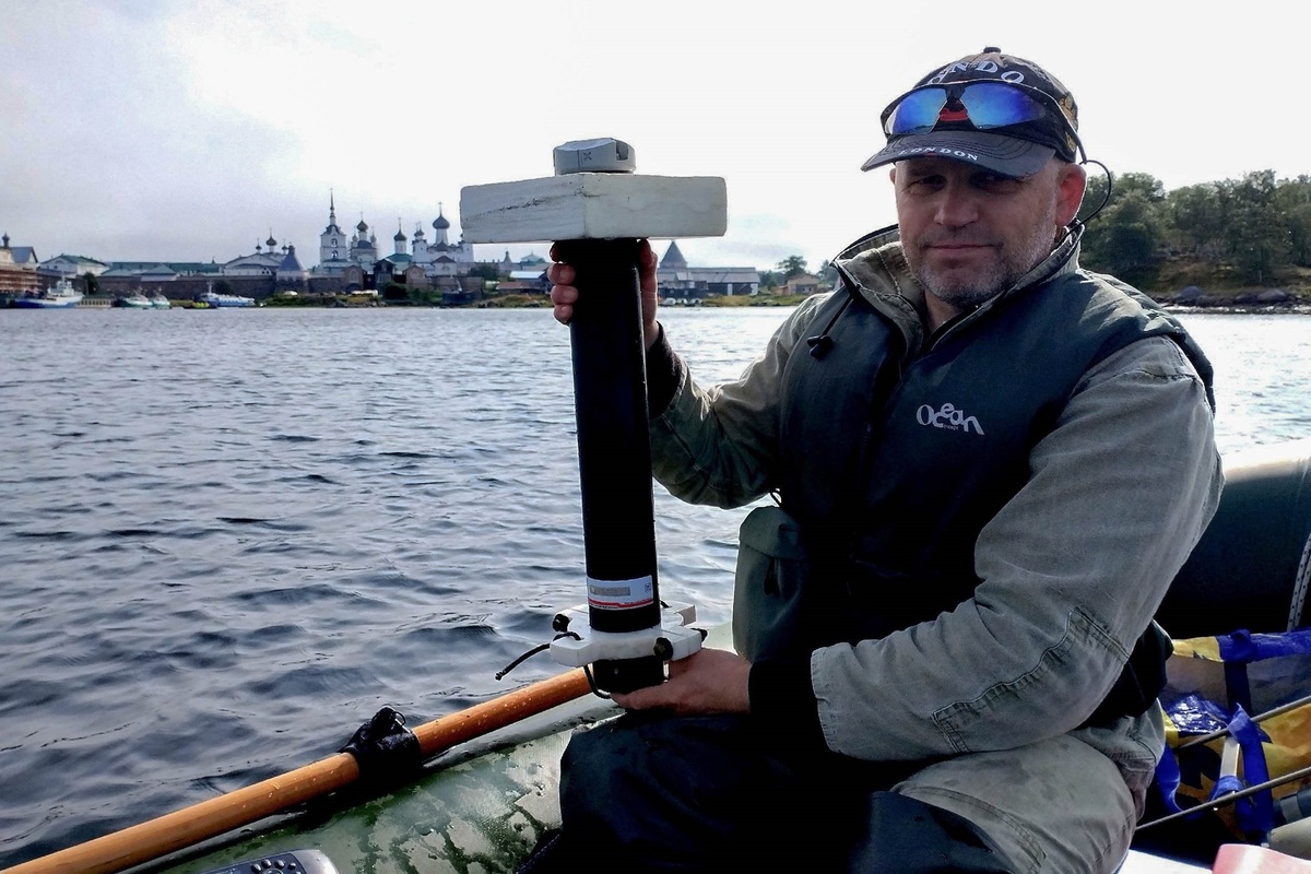
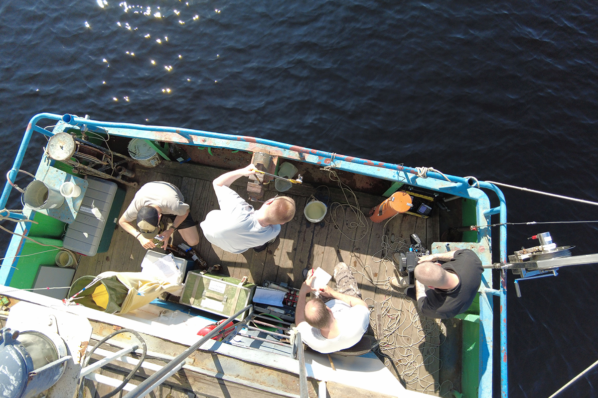
In August, Karelian scientists selected key sites to form a network for monitoring the state of the Blagopoluchiya Bight water area, on the western coast of Bolshoi Solovetsky Island. Specialists from NWPI KarRC RAS studied hydrophysical, hydrochemical and hydrobiological indices reflecting the anthropogenic load on the aquatic ecosystem. These include pressure, temperature, conductivity, turbidity, depth measurements, content of nutrients and oil products, phyto- and zooplankton, chlorophyll а.
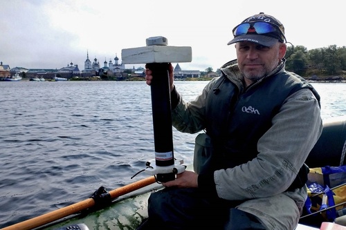
Working with data in the field. Expedition participant Roman Zdorovennov, Senior Researcher at Hydrophysics Laboratory, NWPI KarRC RAS
— As a result of the summer expedition, a grid of monitoring sites was generated, covering the water area potentially affected by human activity to the fullest extent possible. A bathymetric survey was carried out and a depth map was made. First data on the tidal regime of the water area were obtained, indicating that the tidal influence is the greatest in the open part of Blagopoluchiya Bight. Tidal influence in the water area at the top of the bight is insignificant, indicating slow water turnover, which aggravates the anthropogenic load on the water area, — shared Aleksey Tolstikov, participant of the expedition, Head of Geography and Hydrology Laboratory, Northern Water Problems Institute KarRC RAS.
As Yulia Lukina informed, preliminary results of the water chemical analysis show that the heaviest anthropogenic impact is experienced by waters in the Blagopoluzhaya Bight interior during the low tide phase, due to wastewater discharges from the Solovetsky village. The sea water entering the bight during the high tide phase dilutes the water and improves its chemical composition. In addition, qualitative and quantitative parameters of aquatic organisms can be used to indicate water quality and assess the impact of the human factor.